

As the flying season was coming to an end in December 2025, the Aerial Archaeology team, Dr Bob Bewley, Firas Bqa’in and Bashar Tabbah, received some good news – an application to the Gerald Averay Wainwright fund, University of Oxford was successful. This funding will allow the team to continue research and training in aerial archaeology and remote sensing.
The imagery from the Aerial Archaeology in Jordan project 2025 sorties is available to view online here.
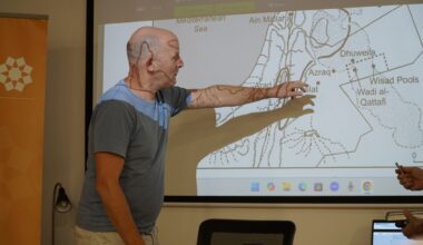
The first flight (on December 8th) had been planned for over a year. The purpose was to revisit the archaeologically rich black-basalt desert area to the north and east of Azraq, Jordan. the team wanted to record sites that had not been previously photographed or seen on satellite imagery; and monitor the condition of previously recorded sites.
In the 7.4 hours of flying, 93 new sites were recorded – sites which had not been previously recorded by the team (using satellite imagery) nor had been photographed. This equals as one new site every five minutes, which is an amazingly successful strike rate for any archaeological survey. The majority of the other sites we had only seen on Google Earth. The more detailed photographs of these sites will be a great help for researchers who will undertake fieldwork in the coming years.
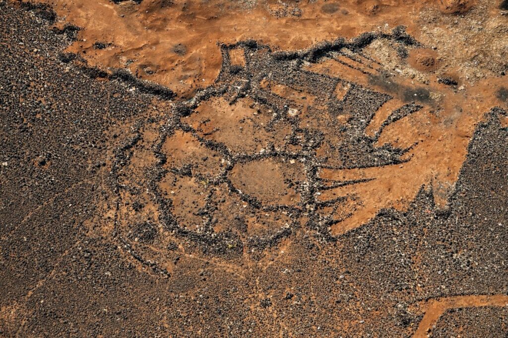
Despite this success, matters were not so good in the Azraq area on the monitoring front. This one example, Figures 1a and b, shows a site covered in debris, modern rubbish being dumped, possibly illegally, in an open space and then being blown around, contaminating many archaeological sites. In Figure 1a, the massive bulldozing activity has destroyed one side of a “kite” (Neolithic hunting trap). The dumping of rubbish covers quite a large area, so the team will be preparing a report for the Department of Antiquities, Jordan.
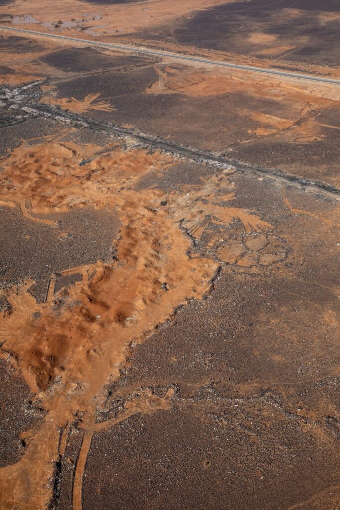
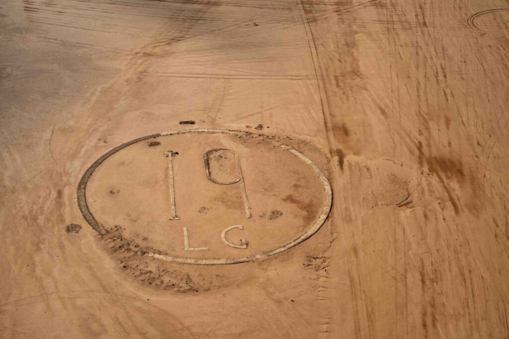
The second flight had been planned in collaboration with Dr Alex Wasse. We thank him for his research on early aviation in Jordan and Iraq. On December 9th, the team covered a very large area, a total of 828 kms in the day, following two routes of the Cairo-Baghdad Air Mail run – created in the 1920s (southern) and the 1930s (northern, following the Haifa to Kirkuk pipeline); a flying distance of over 1300 kms., across the Badia. The markers and arrows – still visible from the air – were former navigational aids. In the days before radio beacons and GPS. Pilots used a compass, a map, and were continually monitoring their speed, estimating the wind speed to help keep them on time and on track. Given the few landmarks in this landscape, a furrow was ploughed along the route, with “markers” at regular intervals, as well as landing grounds (also marked), see Figures 2a and 2b. There were frequent engine failures, so the crews needed to be able to relay their position so that the next flight could locate them and rescue them (or repair the engine).
For further information, see Dr Alex Wasse’s blog.

Many thanks to the project’s funders – CBRL, the British Academy, the G.A. Wainwright Fund (Oxford University) and The Society of Antiquaries, London. The team are also immensely grateful to the Royal Jordanian Air Force and the Department of Antiquities for their help and support over so many years.
Dr Bob Bewley, Firas Bqa’in and Bashar Tabbah.