

By Dr Kristen Hopper, Assistant Professor in the Department of Archaeology at Durham University and Dr Sayantani Neogi, geoarchaeologist.
Remote sensing of satellite imagery is often used to identify archaeological sites, especially in the more arid environments of SW Asia. Sensors on satellites measure the energy that is being reflected off the Earth’s surface, and these reflectance signatures are different depending on the surface material. For example, bodies of water (e.g. a lakes), will have very different reflectance properties from bare rock. Archaeological sites, also produce signatures that are often different in colour or texture from the landscapes surrounding them. The big question is why? What are the unique properties of soils on archaeological sites that make them stand out on satellite imagery? How do these properties differ in different geographical and environmental contexts?
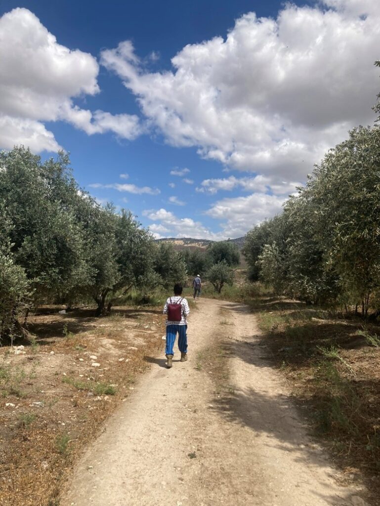
In April 2025, we undertook a short survey season in the mid-lower part of the Jordan River Valley to collect data aimed at answering some of these questions. This work was undertaken as part of a larger study of the reflectance characteristics of soils taken from on, and off, archaeological sites led by Dr Sayantani Neogi. The project is aimed at understanding the characteristics of the soil on archaeological sites, through sampling and geochemical testing, and comparing it to what we see on satellite imagery.
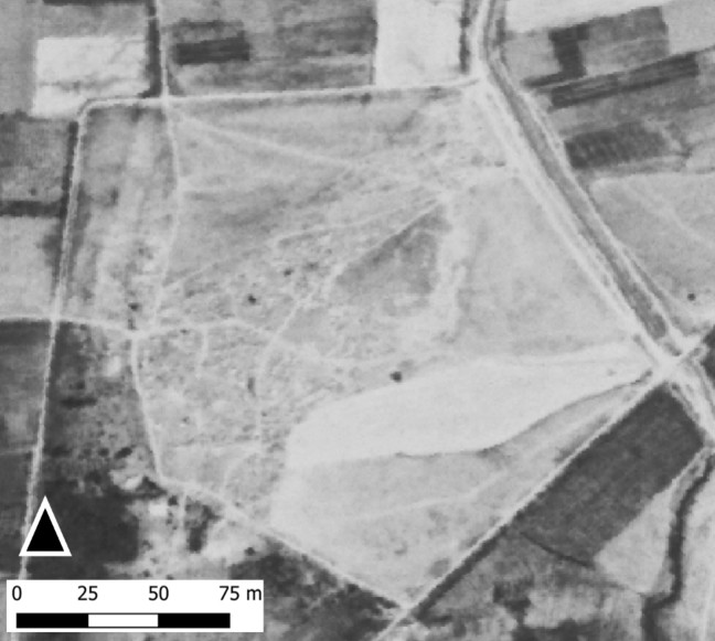
Understanding the characteristics of the soil on sites is particularly important when we are prospecting for archaeological sites on satellite imagery with little to no topographic expression. Remote sensing assessments are often very successful in identifying Bronze and Iron age tell sites due to their morphological characteristics (often significantly raised above the surrounding plain). However, dispersed settlements, often representative of prehistoric, Graeco-Roman or Medieval occupation, and constructed of mudbrick, have generally only been identifiable by the difference in colour or soil texture, due to their lower profile and higher likelihood of plough damage.
However, not all differences in soil colour or texture spotted on a satellite image are archaeological sites! How do we tell the difference between sites and non-sites through remote sensing, alone? Often, we cannot, and therefore rely on field visits to verify our findings. Our study aims to develop a better understanding of the relationship between surface reflectance and the composition of archaeological deposits which will thus help in increasing the ability of researchers to identify anthropogenic deposits when reliant upon satellite imagery.
The Jordan Valley is an excellent testing ground for this study due to the presence of varied topographies and geomorphologies over short distances. With permissions and support from the Department of Antiquities of Jordan we undertook ground-based validation (and sample collection) at several remotely-sensed “tell” (mounds) sites within the valley. We also recorded the condition of each of the sites we identified as archaeological.
Using locations marked as tells on old Palestine topographical maps (Trans-Jordan 1:25,000 Series, 1942), and reflectance signatures found on verified tell sites, an algorithm, developed in Google Earth Engine, was used to flag locations that were likely to be ‘tells’ or ‘mounds’ in areas that had not previously been ground checked prior to going in the field.
To test the accuracy of this algorithm, and identify whether these locations which were archaeological, or not, we visited as many of these locations as possible within a specific area of the Jordan Valley. Our preliminary findings can be broken down into three categories:
- Locations identified as tells by the algorithm, which were confirmed as tells on the ground, and were archaeological sites.
- Locations identified as tells on the old maps, which were indeed topographic features but were not archaeological sites (i.e. Tell el Suleikhat).
- Locations identified as tells by the algorithm, which were topographically flat and were not archaeological sites.
We observed that most of the sites which were topographically flat, and identified as “sites” by the algorithm, were recently modified agricultural sites preferred for setting up nurseries or greenhouses. These incorrectly flagged areas are often isolated from sources of water such as rivers/springs, unlike most archaeological tells.
From each location, where it was possible, we collected small samples of loose surficial soil and some block soil samples. The next phase of research will be sedimentological, magnetic, and geochemical testing to look at the soil micromorphological properties. This will be conducted by Dr Sayantani Neogi in the geoarchaeology labs at Durham University. The results will be assessed in relation to the relevant pixels on the satellite image. Samples will be measured for their reflectance (in both a field and a dry state) using a hand-held spectroradiometer. By doing this, we can classify, characterise, and differentiate natural from on-site sediments.
Our results should help us to understand better what sediment characteristics are common to archaeological sites within this region and the properties of sediments that have generated false positives. These data will be important to further hone the algorithm and aid the identification of archaeological sites on satellite imagery for this and similar environments.
We are grateful to the CBRL for funding the fieldwork, and to the Jordanian Department of Antiquities for their support and collaboration.
Biographies
Dr Kristen Hopper is Assistant Professor in the Department of Archaeology at Durham University. She is a specialist in GIS and remote sensing applications in archaeology. Her research explores landscape transformations from the mid first millennium BC through the Islamic period in Southwest and Central Asia, and the South Caucasus. She is also the senior researcher on the EAMENA project at Durham University and is engaged in leading knowledge exchange and capacity building with heritage professionals, NGOs, and civil society groups from across southwest Asia.
Dr Sayantani Neogi is a geoarchaeologist with a long-standing interest in landscape archaeology to understand human-environment relationships from a “total environment” perspective. She has been a Training Manager, researcher and an honorary research associate for the EAMENA project since 2017 and has been involved in transferring remote sensing workflows and techniques to young scholars. Her combined expertise and training skills led her to build partnerships with heritage agencies and professionals in the MENA region. This laid the ground for her to pursue a successful Marie Sklowdowska Curie Actions Fellowship from the Catalan Institute of Classical Archaeology, Spain.
The views expressed by our authors on the CBRL blog are not necessarily endorsed by CBRL but are commended as contributing to public debate.